Web GIS

Course Information
- Instructor: Luke Driskell
- Course Number: GEOG 4046
Objective
This course introduces Web GIS, offering hands-on experience in creating interactive maps and covering fundamental concepts. This course assumes basic computer literacy and access to specific tools and online accounts. The lessons span various aspects of Web GIS, providing students with the skills to build web-based spatial content.
Tools & Technologies
ArcGIS Pro, ArcGIS Online, ArcGIS Dashboard, Leaflet, HTML, CSS, JavaScript
Project Details
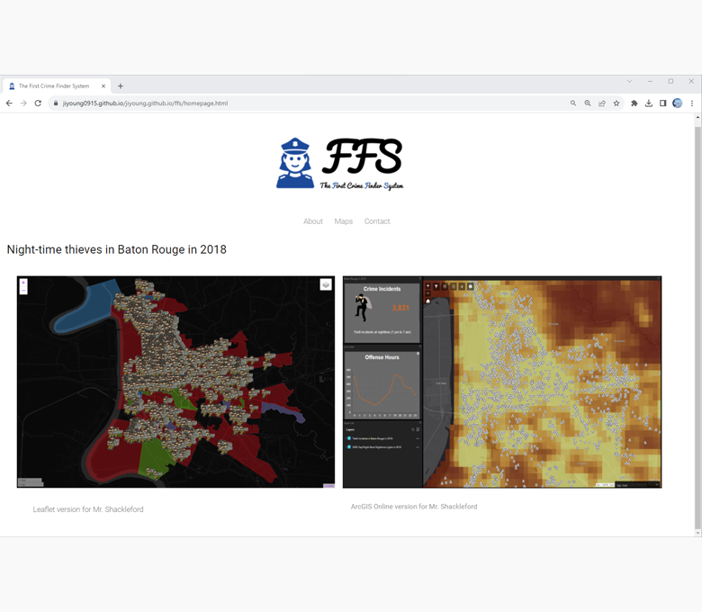
In the Web GIS course, I gained proficiency in employing ArcGIS Online, ArcGIS Pro, and ArcGIS Dashboard to effectively present spatial data in a web-based context. Throughout the course, I achieved high scores on both the midterm and final exams, as well as excelled in all assignments. Using ArcGIS Dashboards, I skillfully visualized nighttime crime statistics by creating interactive maps, informative graphs, and text-based data representations.
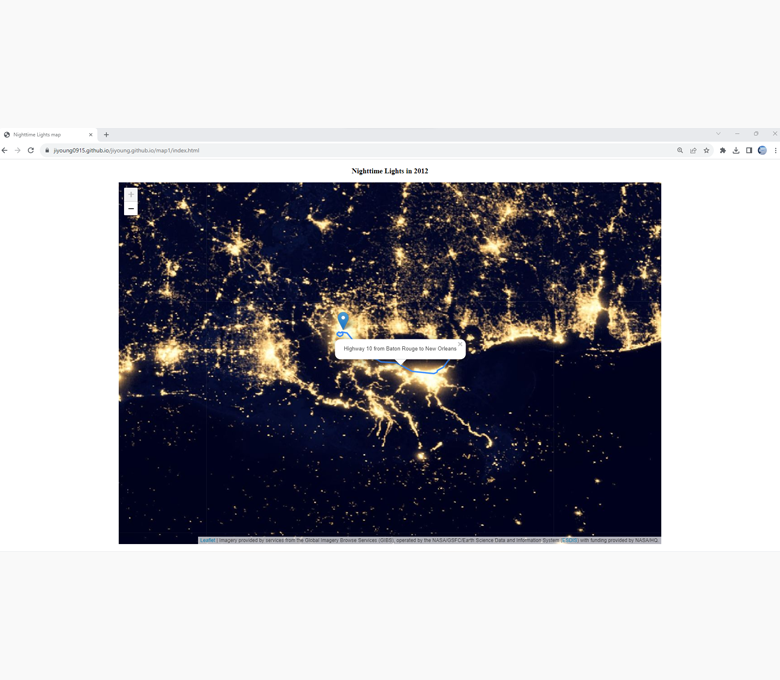
Furthermore, the course provided ample opportunities for hands-on learning. I successfully applied my knowledge to real-world scenarios, such as integrating nighttime imagery data, crime data for the Baton Rouge area, and weather data sourced from NASA through the ArcGIS JavaScript API and Leaflet. These practical exercises equipped me with valuable skills in creating dynamic and informative web-based maps for various applications in spatial data analysis and presentation.